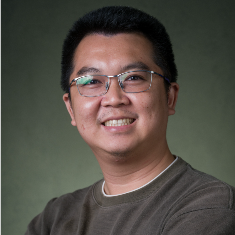
Dr. Sackdavong Mangkhaseum
Environmental and GIS/Remote Sensing Specialist
Dr. Sackdavong Mangkhaseum is a GIS, remote sensing, and environmental monitoring specialist with advanced expertise in geospatial analysis, Earth observation, flood and disaster-risk assessment, land-cover change detection, and digital technologies for environmental and natural resource management.
His work combines satellite data, GIS, field information, and emerging digital technologies to support environmental assessment, climate resilience, disaster-risk management, and evidence-based planning. He has particular expertise in Google Earth Engine, multi-source remote sensing, machine learning applications, spatial database development, and the interpretation and visualization of complex geospatial information.
At ESL, Dr. Sackdavong supports environmental and social studies through GIS and spatial analysis, environmental monitoring, digital data applications, and technical coordination. His recent assignments include project leadership for environmental baseline studies for major pumped-storage hydropower and transmission infrastructure projects, quality control for biomass and carbon baseline studies, and the application of digital and geospatial tools to environmental monitoring.
Prior to joining ESL, he worked as a Project Coordinator and served as a Lecturer and Researcher at the Faculty of Engineering, National University of Laos. His research in Japan focused extensively on flood susceptibility, land-use and land-cover change, remote sensing, machine learning, and disaster-risk applications in the Nam Ngum River Basin and other areas of Lao PDR. He has presented his research at numerous international scientific and space-technology conferences.
Dr. Sackdavong holds a Ph.D. and Master’s Degree in Electrical and Space Systems Engineering under the Space Engineering International Course at Kyushu Institute of Technology, Japan, with research focused on natural resource management and Earth observation. He also holds degrees in Electronics and Telecommunication Engineering and English Language from Lao PDR.
His research has been published in international journals and conference proceedings, with particular emphasis on flood susceptibility mapping, remote sensing, machine learning, land-cover change, and the use of open-source geospatial technologies for environmental and disaster-risk management.
Published knowledge products
No public knowledge products yet.
Projects
No public projects yet.